
Altitude: 7 m a.s.l.
Area: 3 sq km
Distance from Imperia: 13 km
Inhabitants: in 1881: 689 - in 2017: 2235
Patron Saint Day: August 3rd - Santo Stefano
Information: Municipality phone 0183 486488
The toponym of the town, located in the territory of the ancient Loco et Fundo Porciano (Roman rural land toponym in -ano from the noble name Porcius), derives from the name of the homonymous monastery founded in the XI century by the Benedictine monks, around which starting from the fourteenth century developed the village along the coastal road, within the so-called "Principality of Villaregia", established as a subsidiary of the Genoese convent of Santo Stefano.
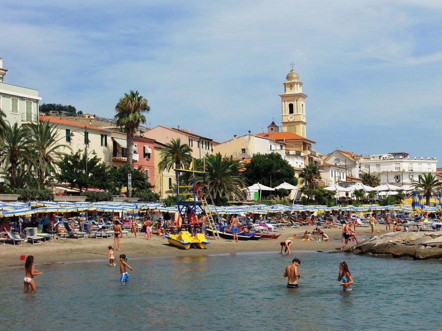
Visit of the town
The earliest evidence of a stable human occupation of today's Santo Stefano territory dates back to the early Roman imperial age.
Just beyond the sports field, to the left of the main road, the remains of a massive wall structure are recognizable, which could be what remains of an ancient Roman bridge dating back to the 1st century AD, crossed by the Roman coastal road, the famous Via Julia Augusta.
Numerous surnames attested in documents drawn up between the 12th and 14th century also indirectly confirm both the Byzantine and the Longobard domination, although there is no guarantee that some exponents of a local lineage such as the Garibaldi family, already very numerous at the beginning of the fourteenth century, descend directly from Longobard warriors who settled in the area between the 7th and 8th centuries.
The flourishing territory was in the meantime coveted by the neighboring marquises of Clavesana, who repeatedly tried to take possession of it, but without success since in 1186 and 1194 the popes Urbano III and Celestino III confirmed all their prerogatives to the Benedictines, who at the same time also had to face the expansionist aims of the lords of Linguilia, their powerful and threatening neighbors.
At the traffic light on Via Aurelia to the east of the town, the detour that takes you to Terzorio branches off in a kilometer.